

A Flood Watch remains in effect for the U.S. Virgin Islands through 8:00 a.m. Wednesday, as forecasters warn that additional heavy rain could worsen flooding across St. Croix and St. Thomas-St. John and Adjacent Islands.

The National Weather Service said conditions remain favorable for excessive rainfall, with another 1 to 3 inches of rain per day expected, locally higher totals possible, and flood risk increasing as soils become saturated and some rivers continue running high. Puerto Rico also remains under the same regional watch, while a separate Flood Advisory was issued Tuesday morning for four municipalities in eastern Puerto Rico.
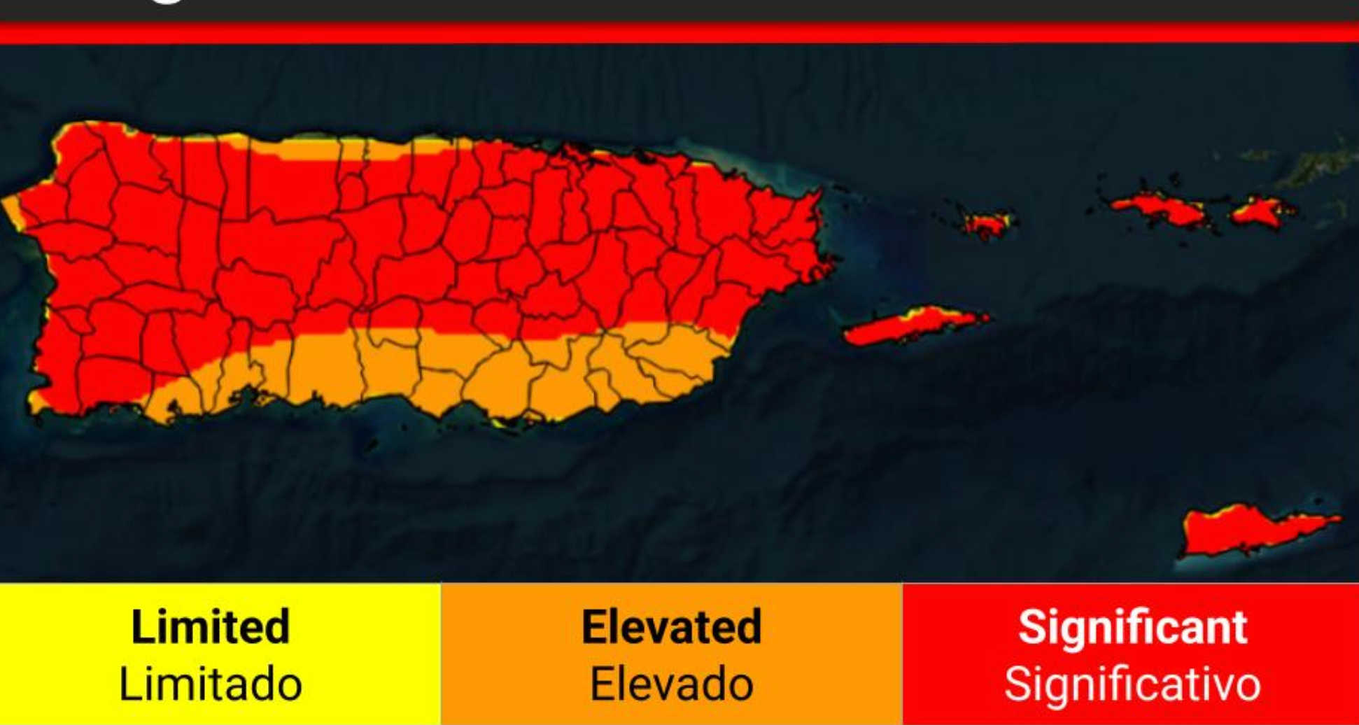
In the broader watch, reissued at 3:47 a.m. Tuesday, the National Weather Service said flooding caused by excessive rainfall continues to be possible through Wednesday morning across Puerto Rico and the U.S. Virgin Islands. In the Virgin Islands, the watch covers St. Croix and St. Thomas, St. John, and Adjacent Islands. The agency warned that excessive runoff may flood rivers, creeks, streams, and other low-lying and flood-prone locations. It also said flooding may occur in poor drainage and urban areas, low-water crossings may be flooded, and waterways already running high could overflow with more heavy rain.
Forecasters said the overall forecast remains on track even though the exact placement and timing of the heaviest rainfall have varied from earlier expectations. The weather service said a moist and unstable pattern remains in place, with flood risk expected to continue increasing through at least early Wednesday morning. Residents living in flood-prone areas were advised to monitor later forecasts and be prepared to act if Flood Warnings are issued.
Marine conditions were also deteriorating Tuesday morning. In a Marine Weather Statement issued at 6:40 a.m., the National Weather Service warned of strong thunderstorms over the waters affecting Atlantic waters of Puerto Rico and the U.S. Virgin Islands from 10 nautical miles to 19.5N, including waters around and just north of Saint John. At 6:37 a.m., Doppler radar indicated strong thunderstorms capable of producing winds to around 30 knots. The storms were located along a line extending just offshore San Juan through east of Fajardo and clustering northward toward offshore Atlantic waters. Forecasters said the thunderstorms were nearly stationary and could continue developing through the morning hours.
The weather service said mariners can expect gusty winds to around 30 knots, locally higher waves, lightning strikes, and heavy downpours, and urged boaters to seek safe harbor immediately until the storms pass. It also warned that intense lightning was occurring with the storms and advised anyone caught on open water to stay below deck if possible and keep away from ungrounded metal objects.

In Puerto Rico, a separate Flood Advisory issued at 5:45 a.m. was in effect until 8:00 a.m. for Ceiba, Fajardo, Luquillo, and Rio Grande. The advisory said urban and small stream flooding caused by excessive rainfall was expected, with minor flooding possible in low-lying and poor drainage areas and water over roadways. At 5:44 a.m., Doppler radar indicated heavy rain due to thunderstorms, with up to 1 inch already fallen and another 1 to 2 inches expected. The weather service warned, “Turn around, don`t drown when encountering flooded roads. Most flood deaths occur in vehicles."


Advertisements